|
City planning, like most fields, has its own language. The language of planning makes it easier for planners to present complex ideas and concepts in a concise manner. However, for readers unfamiliar with the language of planning, the terminology can be confusing. As an aid to readers, listed below are definitions of a number of the key terms used in the Connecting Cleveland 2020 Citywide Plan.
NOTE: Terms are listed in alphabetical order. Defined terms used in the definition of other terms are displayed in italics.
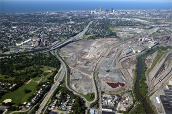
| Brownfield |
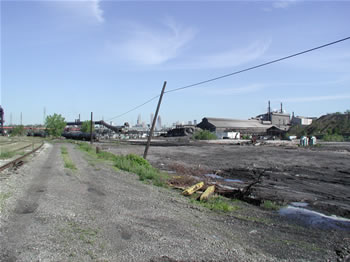
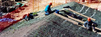
Vacant land that is environmentally contaminated as a result of past development, typically past industrial development. Productive re-use of brownfield sites often requires costly environmental clean-up and is a serious challenge facing Cleveland and other older industrial cities. Brownfield sites are contrasted to greenfield sites.
|
| Community Asset |
A physical or social resource that adds value and gives identity to a neighborhood or to a larger community. A community asset can be natural resource, such as a stream valley, a built resource, such as a landmark building, or a social resource, such as a long-standing community organization. The Connecting Cleveland 2020 Citywide Plan is an “asset-based” plan, which seeks to improve each neighborhood by identifying and building upon its unique combination of assets.
|
| Comprehensive Plan |
The adopted official statement of a local government that sets forth goals, policies, and strategies to direct physical, social, and economic development within the local community. The Connecting Cleveland 2020 Citywide Plan is Cleveland’s updated comprehensive plan.
|
| Green Building |
Development that minimizes energy consumption and minimizes pollution and the generation of wastes, while maximizing the re-use of materials and creating healthful indoor environments .
|
| Greenfield |

Vacant land that has never been developed or was formerly occupied by farms or low-density development that left the land free of environmental contamination. Greenfield sites are typically located in suburban or ex-urban areas and are much less costly to develop than are the brownfield sites often located in urban areas.
|
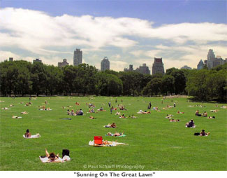
| Greenspace |
Wooded and grassy areas that provide sites for recreation and enjoyment of nature, often located in the midst of urban areas that are otherwise occupied by buildings and paved areas.
|
| Greenways |

Natural areas that take the form of corridors, often following streams or rivers, and provide opportunities for trails and bike paths connecting scenic areas and other destinations.
|
| Growth Management |
Land use planning and land use regulations designed to limit urban sprawl and promote smart growth. |
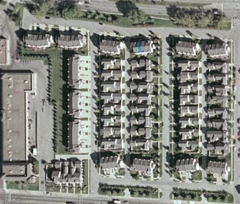
| Infill Development |
Development on relatively small vacant or underutilized sites in urbanized areas, making use of existing infrastructure and community facilities. Infill development in the urban core of a metropolitan area is one means of reducing urban sprawl.
|
| Infrastructure |
Roads, bridges, utilities, rail lines and similar physical facilities that support and service urban development. More broadly defined, the term can also include the schools, libraries, fire stations and other community facilities that support neighborhoods.
|
| Land Use |
The type of activity or development that occupies a parcel of land. Common land uses include residential, retail, industrial, recreation, and institutional.
|
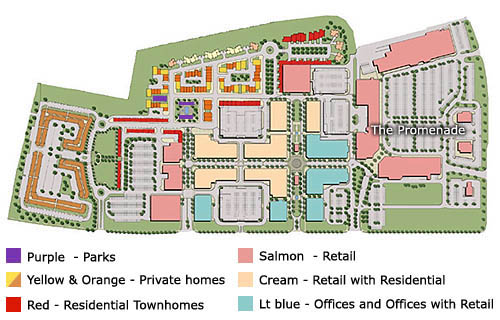
| Land Use Plan |

A guide for the location and intensity of future development in a community. A land use plan typically separates uses that are incompatible with each other (such as residential and industrial uses), while bringing together land uses that can be complementary (such as residential and small-scale retail uses). A land use plan also locates uses in proximity to supportive infrastructure, such as placing industrial development along rail lines. Zoning is one means of implementing a land use plan.
|
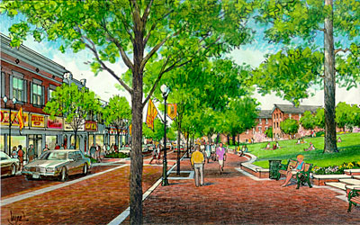
| Livable Neighborhoods |
Neighborhoods that offer a good quality of life for their residents. Livable neighborhoods are characterized by safety, decent and affordable housing, high-quality services and shopping, good schools, economic opportunities, and opportunities for healthy living.
|
| Mixed-Income Housing |
Residential development that includes housing for a variety of income levels. Mixed-income housing is proposed to promote economic integration and prevent economic isolation, with the principal goal of expanding economic opportunities for lower-income individuals.
|
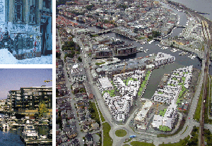
| Mixed-Use Development |
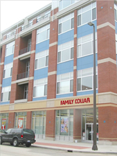
The combination of two or more land uses – typically retail and residential – in a single development project. Optimal mixed-use development promotes pedestrian activity and the creation of vibrant urban.
|
| Mixed-Use District |
An area of two or more city blocks characterized by mixed-use development .
|
| New Urbanism |
An approach to urban planning that advocates integrating housing, workplaces, shopping, and recreation areas into compact, pedestrian-friendly, mixed-use neighborhoods linked by transit and bikeways. New urbanist development is characterized by buildings placed directly along relatively narrow streets, with parking and driveways located to the rear, complemented by pedestrian-oriented amenities such as front porches and sidewalk cafes.
|
| Opportunity Zone |
A large-scale vacant or under-utilized site that has the potential for redevelopment that will benefit the community and spur additional development or revitalization. The Connecting Cleveland 2020 Citywide Plan identifies opportunity zones in each of the city’s neighborhoods.
|
| Smart Codes |
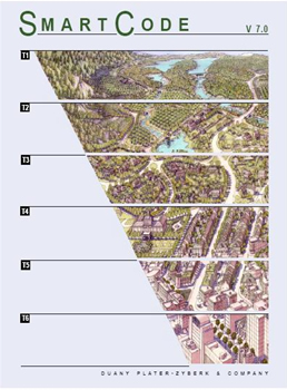
Zoning and building codes that encourage smart growth, sustainable development and green building.
|
| Smart Growth |
Metropolitan area development characterized by compact, mixed-used districts, efficient use of land and infrastructure, choices in travel mode, and protection of environmental resources and open space.
|
| Streetscape |
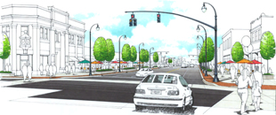
The view along a street from the perspective of a driver or pedestrian, particularly views of natural and built elements in the street right-of-way, including street trees, signs, street lights, above-ground utilities, sidewalks, bus shelters, bike racks, street furniture and public art. The quality of a streetscape has a major impact on the perception of an adjacent retail or mixed-use district.
|
| Sustainable Development |
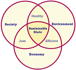
Development that maintains or enhances economic opportunity and community well-being while protecting and restoring the natural environment upon which people and economies depend. Characteristics of sustainable communities include compact mixed-use development, green building, transit-oriented development, pedestrian-friendly and bicycle-friendly neighborhoods, common open space, and diversity in housing opportunities.
|
| Traffic Calming |
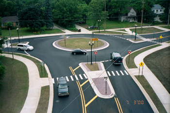
Techniques intended to reduce the negative impacts of motor vehicles on neighborhoods by reducing vehicle speeds and by providing safe spaces for pedestrians and cyclists.
|
| Transit Oriented Development (TOD) |
Mixed-use, higher density development centered around transit stations. The goal of TOD planning is to create a development pattern that supports the use of mass transit and reduces dependence on the automobile.
|
| Urban Core |
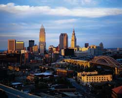
The center of a metropolitan area, typically including the region’s downtown and high-density neighborhoods located near the downtown. The City of Cleveland can be considered the urban core of the multi-county Cleveland metropolitan area.
|
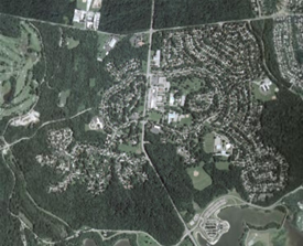
| Urban Sprawl |

Low-density, single-use development spreading out from an urban core in a haphazard manner that results in increased dependency on the automobile and inefficient use of infrastructure.
|
| Walkable Community |
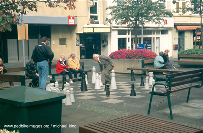
A community where housing, workplaces, shopping areas, schools and recreation facilities are laid out in a manner that makes them relatively accessible by walking as well as by cycling .
|
| Zoning |
A set of laws that restrict and define the type of land uses and development that can occur on each parcel of land in a community. Zoning typically divides a community into districts that group compatible uses together and exclude incompatible uses. Zoning is a tool that is used to implement a land use plan.
|
|
|